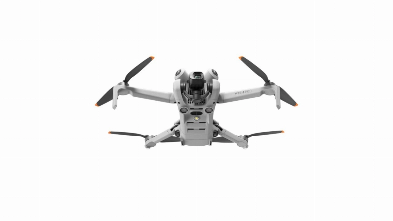
Drone 360-degree photography is the capture of high-resolution, interactive panoramic images from an aerial perspective. It provides a powerful and immersive visual tool that allows users to explore a location in full 360 degrees from an elevated viewpoint, offering a complete and comprehensive understanding of the environment.
This unique, user-controlled perspective adds a distinct and engaging element to any project. The interactive panoramas capture the full scale and context of a property or location, creating a detailed virtual tour that is impossible with standard photography. It elevates digital marketing materials and provides an unparalleled tool for site familiarization and virtual inspections.
Our operations are conducted by professionally certified remote pilots who hold advanced qualifications, including the UK CAA GVC, A2 CofC, USA Part 107, and the EASA STS-01. We are committed to providing expert service that meets the highest standards of safety and professionalism.
About This Package
This package provides a professional drone 360-degree photography solution for a single location, captured within a half-day session. Our service is designed to deliver a comprehensive collection of high-resolution, interactive panoramic images, providing a complete and immersive perspective of your location.
Our approach is centered on capturing detailed and seamless panoramic images. We utilize professional-grade drones equipped with high-megapixel sensors to capture a series of overlapping images from a single point. This method provides a significant advantage by creating a fully spherical, high-resolution panorama that allows for an immersive, user-controlled viewing experience.
The service includes a one-hour planning session to define objectives and key viewpoints before the shoot. Our pilot will then spend up to four hours on-location capturing panoramic images from various critical altitudes and positions to ensure comprehensive coverage. Following the capture, the images are professionally stitched into a seamless panorama and color-graded. The final output consists of the high-resolution panoramic image files, ready for self-hosting or use in your chosen 360 viewer, made available for you to download online within a standard two-week turnaround.
Package Details:
- Consultation: One-hour pre-flight planning session.
- On-Site Time: Up to 4 hours at one location with one remote pilot.
- Deliverables: Stitched & color-graded high-resolution 360-degree panoramic photos.
- Delivery: Online access to download all images within a 2-week turnaround.
- Compliance: Proof of commercial insurance is provided as standard.
Available Add-Ons:
- Pre-Flight/On-Site Survey & Risk Assessment
- Securing Airspace Permissions
- Securing Land Permissions
Please Note:
- Pricing is based on a remote pilot operating the latest Mini-class drone.
- Upgrades to more advanced drone systems and pilots are available.
- Travel is charged at £0.45-£0.65 per mile.
- Accommodation and other expenses are not included.