About This Package
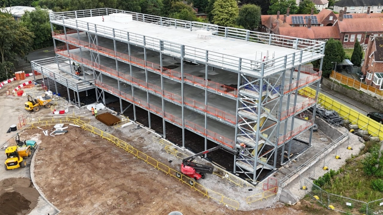
This package provides a comprehensive drone survey solution for a single site, captured within a half-day session. Our service is designed to deliver a complete set of digital assets, including a 3D model and orthomosaic map, for detailed analysis, planning, and documentation.
Our approach is centered on photogrammetry, a process that utilizes hundreds or thousands of overlapping, high-resolution aerial images. We use professional-grade drones equipped with high-megapixel sensors to ensure sharp, data-rich results. This methodology provides a significant advantage by allowing for the creation of multiple, distinct data types from a single flight, revealing critical details impossible to capture from the ground.
Our on-site process is built around an automated, pre-planned flight grid. The drone systematically captures images from multiple altitudes and angles, including both nadir (top-down) for mapping and oblique (angled) for 3D reconstruction. During the flight, we also capture up to three 360-degree photos from key vantage points.
Following data capture, the images are processed using specialized software to create a comprehensive data package. The final output is a collection of high-value digital assets, made available for you to direct download within a standard four-week turnaround.
Package Details:
- Consultation: One-hour pre-flight planning session.
- On-Site Time: Up to 4 hours at one location with one remote pilot.
- Deliverables: High-resolution Orthomosaic Photo, Digital Surface Model (DSM), 3D Site Model (.glb), and up to three 360-degree photos.
- Delivery: Online access to download all assets within a 4-week turnaround.
- Compliance: Proof of commercial insurance is provided as standard.
Available Add-Ons:
- Pre-Flight/On-Site Survey & Risk Assessment
- Securing Airspace Permissions
- Securing Land Permissions
Please Note:
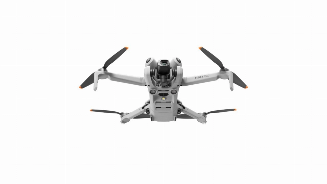
- Pricing is based on a remote pilot operating the latest Mini-class drone.
- Upgrades to more advanced drone systems and pilots are available.
- Travel is charged at £0.45-£0.65 per mile.
- Accommodation and other expenses are not included.