project-image
CAA Registered Drone Operators.
CAA A2CofC/OA Holders.
Full Commercial Insurance.
Public Liability Insurance £1,000,000 & More On Request.

From £8500.00

Effective construction management requires constant and accurate information. Drone-based progress reporting provides an objective, data-driven overview of a project's evolution, replacing time-consuming manual checks with a streamlined, repeatable process. By capturing comprehensive site data at regular intervals—be it weekly, bi-weekly, or monthly—project managers and stakeholders gain a verifiable record of progress.

This recurring data is essential for maintaining project timelines and budgets. It allows for direct, visual comparison of the as-built state against construction plans, enabling the early identification of potential issues, discrepancies, or delays. High-resolution orthomosaics and 3D models provide an unambiguous single source of truth for all teams, improving communication and accountability. This consistent documentation is not just a monitoring tool; it's a critical component of risk management, quality control, and transparent stakeholder reporting from groundbreaking to completion.

About This Package

This package provides a comprehensive drone survey solution for a single site, captured over a four-day on-site session and followed by extensive post-production. Our service is designed to deliver a complete set of digital assets for detailed analysis, project planning, and documentation.

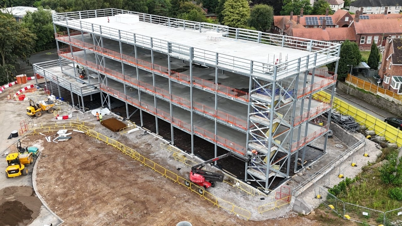
Our approach is centered on photogrammetry, a process that utilizes hundreds or thousands of overlapping, high-resolution aerial images. We use professional-grade drones to ensure sharp, data-rich results. This methodology provides a significant advantage by allowing for the creation of multiple, distinct data types from a single flight, revealing critical details impossible to capture from the ground.

Our on-site process is built around an automated, pre-planned flight grid. The pilot will spend 32 hours on-location over four days, systematically capturing nadir (top-down), oblique (angled), standard aerial, and 360-degree panoramic images to ensure complete and redundant data coverage.

Following the capture, your project is managed by a dedicated team. A data processor handles eight full days of processing, followed by a 3D modeller who dedicates two full days to generating the final assets. This multi-day workflow ensures the highest quality and accuracy. The package includes one revision round on the final deliverables, which are provided within a four-week turnaround.

Package Details:

  • Consultation: One-hour pre-flight planning session.
  • On-Site Time: 32 hours over four days at one location with one remote pilot.
  • Personnel & Process: Includes flight planning, one data processor (eight full days), and one 3D modeller (two full days) for model generation.
  • Deliverables:
    • 1x High-resolution Orthomosaic Photo
    • 1x Digital Surface Model (DSM)
    • 1x Non-hosted 3D Site Model (.glb)
    • Up to 3x Aerial 360-degree photos
    • Up to 15x Aerial photos
  • Revisions: One free revision on final deliverables.
  • Delivery: Online access to download all assets within a 4-week turnaround.
  • Compliance: Proof of commercial insurance is provided as standard.

Available Add-Ons:

  • Pre-Flight/On-Site Survey & Risk Assessment
  • Securing Airspace Permissions

Please Note:

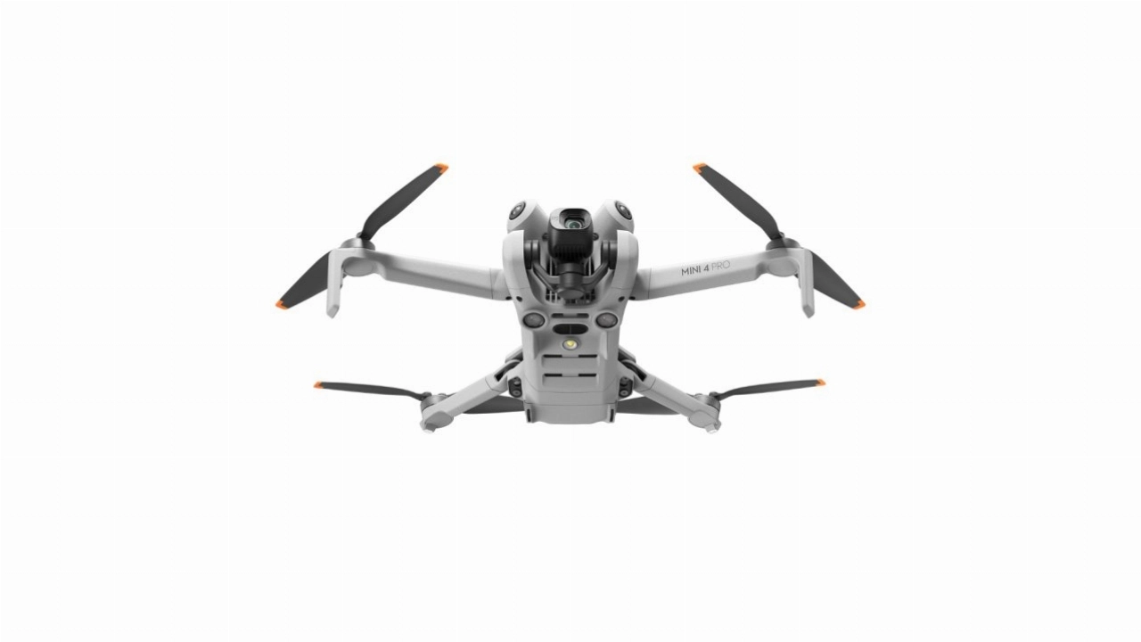
  • Pricing is based on a remote pilot operating the latest Mini-class drone.
  • Upgrades to more advanced drone systems and pilots are available.
  • Travel and accommodation expenses are not included.

Includes:

  • Shot at 1 location of your choice
  • Up to 32 hours on location (four days)
  • Planning session (1 hour)
  • 1 remote pilot (four days)
  • Proof of commercial insurance
  • Flight planning
  • 1 data processor (eight days)
  • Data processing
  • 1 3D modeller (two days)
  • Model generation
  • 4 non-hosted 3D models (.glib)
  • 4 orthomosaic photos
  • 4 digital surface models
  • Up to 15 aerial 360 degree photos
  • Up to 60 aerial photos
  • Standard 4-week turnaround
  • 1 free revision (deliverables)
  • Online access to download
  • Add on: Securing airspace permissions
  • Add on: Risk assesment/surveys
  • Travel & accommodation not included


Contact Us


Our Drone Construction Progress Reports Process

01

Discovery

Initial consultation to understand your business goals, target audience, and project requirements.

02

Quotation

Account setup, quote preparation, and project scope finalization.

03

Pre-Production Meeting

Project kickoff and preliminary production meeting.

04

Shot list

You provide your required shot list.

05

Schedule

We develop a detailed schedule based on your shot list.

06

Approval

Review and sign-off on final production documents.

07

Shoot

On-location shoot with our professional team.

08

Post-Production

Data processing, model generation, and delivery.


Flexible Licensing

We pride ourselves on being transparent and flexible with our licensing. Find out more about our Drone Photography & Videography licensing...


Included Equipment


Available Extras

You will be able to choose to addon available extras for an additional fee during the quote request stage.

  • There are currently no extras available for this product.

Available Equipment

Add additional equipment from our equipment gallery to your video shoot.

  • Drone Fleet