A drone-captured 3D model is a precise and measurable digital replica of a physical site, asset, or property. Generated from hundreds or thousands of high-resolution aerial images, it provides a photorealistic and geometrically accurate representation that can be explored from any angle. Users can manipulate the model in virtual space, allowing them to pan, zoom, and orbit around the structure or landscape. This ability to inspect the entire site from a comprehensive bird's-eye view down to intricate surface details provides a level of analytical depth that traditional ground-based surveying or simple aerial photos cannot match.
The strategic application of drone 3D models delivers a significant operational advantage across construction, engineering, and asset management industries. For construction projects, these models function as a living digital twin of the site, enabling stakeholders to track progress, verify measurements, and identify potential issues remotely. In surveying and architecture, they provide invaluable topographic data and as-built records, streamlining planning and design workflows. Ultimately, a drone-captured 3D model is a powerful data asset that enhances project oversight and stakeholder communication. By presenting an authentic and measurable representation of your site, it improves decision-making, reduces the need for costly site visits, and establishes a standard of technical excellence that sets a project apart.
Up To 50% Discount On Selected Packages For Small Businesses & Not For Profit Organizations
CONTACT USThis package provides a professional drone 3D mapping solution for a single site, captured within a full-day session. Our service is designed to deliver a precise, photorealistic, and geometrically accurate 3D model of your physical environment for analysis, planning, and documentation.
Our approach is centered on photogrammetry, a process that utilizes hundreds or thousands of overlapping, high-resolution aerial images. We use professional-grade drones equipped with high-megapixel sensors to ensure sharp, data-rich results. This methodology provides a significant advantage over simple aerial photography by allowing for the reconstruction of complex geometry and textures with a high degree of accuracy.
Our on-site process is built around an automated, pre-planned flight grid. The drone systematically captures images from multiple altitudes and angles, including both nadir (top-down) and oblique (angled) perspectives. This meticulous method ensures comprehensive data coverage of the entire site, which is crucial for generating a precise digital twin of your location.
Following data capture, the images are processed using specialized software to reconstruct the site's geometry and texture into a cohesive 3D model. The final output is a standard .glb 3D model file, ready for immediate use in your chosen software. The finalized model will be made available to you for direct download within a standard two-week turnaround.
Package Details:
Available Add-Ons:
Please Note:
Includes:
For smaller projects, we offer a range of pre-packaged solutions that can be customised to meet your needs. These packages provide a cost-effective approach by bundling services like photography and initial editing for specific durations, offering significant value compared to bespoke day rates for the same defined deliverables. Our pricing is determined based on hours, and you have the flexibility to include extra elements such as additional locations, equipment, talent, or services.
For larger projects needing bespoke solutions, extensive development, or longer schedules, we use the following day/hourly rates as starting points, covering up to 8 hours of service per day. All prices listed below are starting rates, and may vary depending on your requirements and the complexity of the shoot.
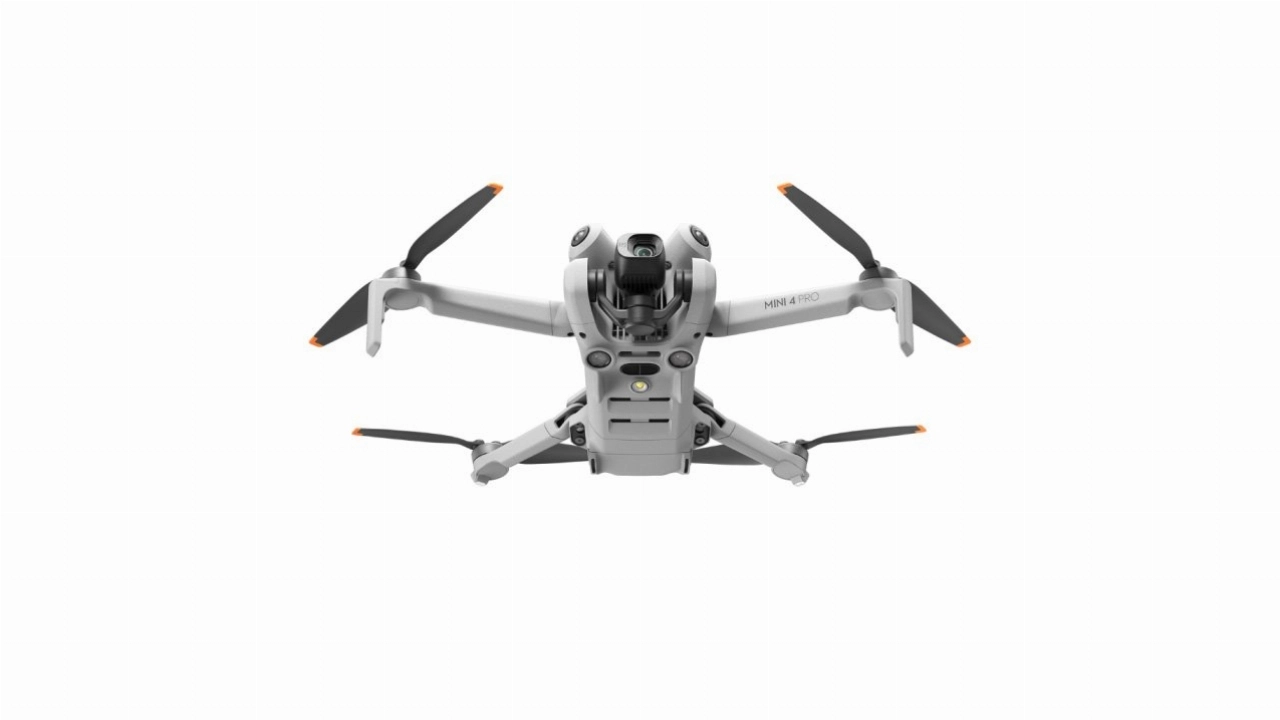
Additional expenses for comprehensive pre-production, highly specialised equipment, specific locations, and contributors will be itemised in your quote. Please note, travel and accommodation are not included in any of our listed prices. Travel is charged at 45p-65p per mile, per crew member, from our base of operations. Overtime for crew beyond the 8-hour day requires your approval and is invoiced at our 1.5 x standard hourly rates. We pride ourselves on transparent pricing and exceptional quality in all our undertakings.
Initial consultation to understand your business goals, target audience, and project requirements.
Account setup, quote preparation, and project scope finalization.
Project kickoff and preliminary production meeting.
You provide your required shot list.
We develop a detailed schedule based on your shot list.
Review and sign-off on final production documents.
On-location shoot with our professional team.
3D model generation, and final delivery.
We pride ourselves on being transparent and flexible with our licensing. Find out more about our Drone Photography & Videography licensing...
You will be able to choose to addon available extras for an additional fee during the quote request stage.
Add additional equipment from our equipment gallery to your video shoot.